
In early October, I took two separate backpacking trips, with both of the trails being accessed from Highway 285 as it headed west from Denver towards Buena Vista. Even though trails were within an hour of each other, the terrain and scenery was quite varied.
The reason for ending up along Highway 285 was simply my criteria for finding trails:
- Within a 2 hour drive of Denver
- Avoid I-70 and it’s traffic problems
- Does not require advance reservations
This led me to the Mt. Evans Wilderness – an hour from Denver and accessed a few miles before reaching the town of Bailey, and Lost Creek Wilderness – accessed after cresting Kenosha Pass and right at the limit of a 2 hour drive.
Mt. Evans Wilderness
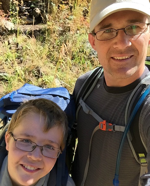
For this trip, it was my oldest son’s first “real” backpacking trip where he had to carry his own gear. It was in preparation for his school’s backpacking trip the following weekend. Our trip was only a few miles in length and we didn’t get above treeline. The Mt. Evans Wilderness is quite expansive with an array of trails that provide access to several 14ers – Evans and Bierstadt.
In early October, the mornings were cool and the aspen leaves were still in full color. This made for a great trip.
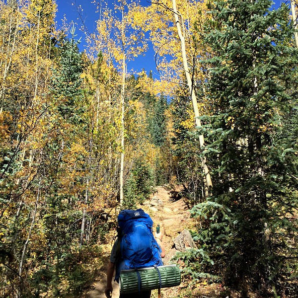
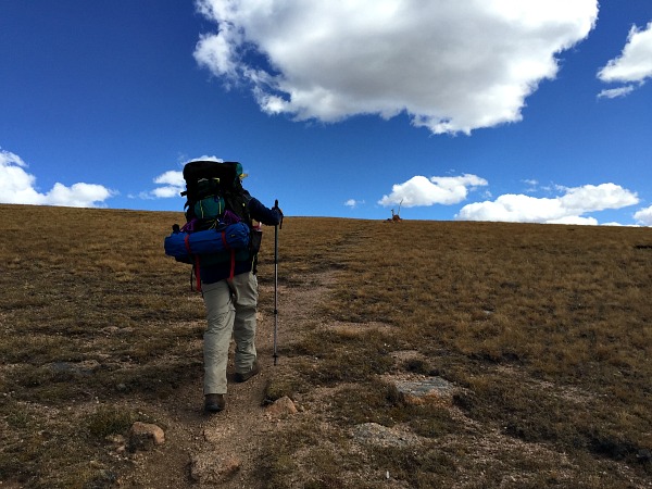
Making our way up the trail
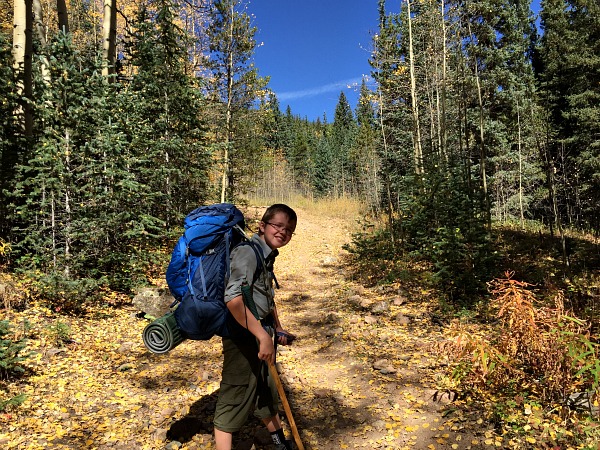
Are you sure I’m supposed to carry a pack this big?
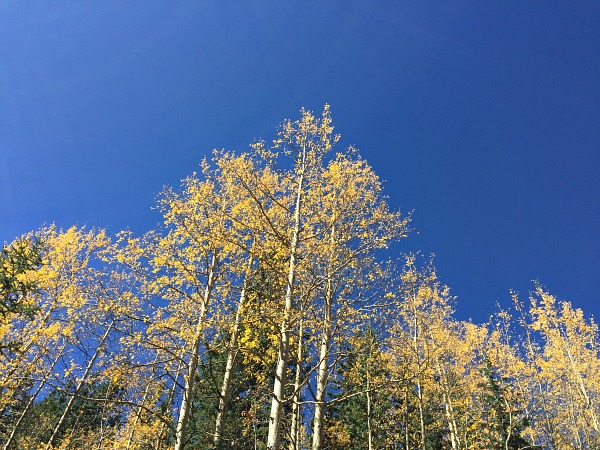
Blue skies and leaves turning colors
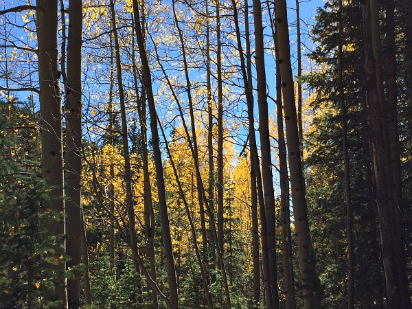
Aspens in the foreground, aspens in the background
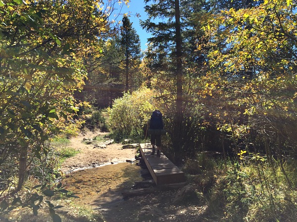
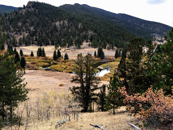
Crossing the stream on our way back to the trailhead
Successful backpacking trip under our belts.
Lost Creek Wilderness
The following weekend, my friend Brion and I went out for a two night trip on the other side of Highway 285. The drive was about an hour longer even though the wilderness area was only a few miles away from the Mt. Evans Wilderness from the previous weekend. This is due to limited access points if your hike is not started on the Colorado Trail that cuts through the wilderness area. If the Colorado Trail is used, the drive from Denver is about 30 minutes shorter.
We started our hike near the Tarryall Reservoir, hiking up the Ute Creek trail towards Bison Peak, the highest point in the Lost Creek Wilderness at 12,432′. It was an area mostly covered in pine trees with a few aspen pockets to provide some fall colors. As the trail climbed up to Bison Peak, the trees gave way to grassy hillsides and some very interesting rock formations. While a 12,000′ peak doesn’t get much love in Colorado, the hike was quite worth it to see the rock formations and the bonus of hiking 12,000′ peaks is less traffic on the trail. We saw 6 other people while out for our two night trip.
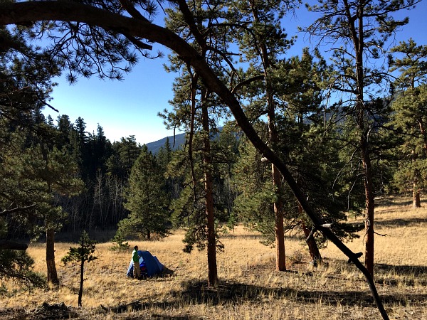
Campsite along the Ute Creek Trail
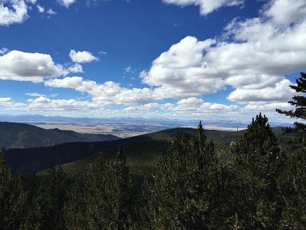
A view to the plains
Leaving the trees behind
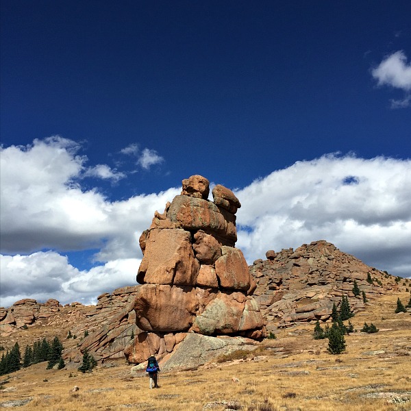
Massive rocks on the way up to Bison Peak
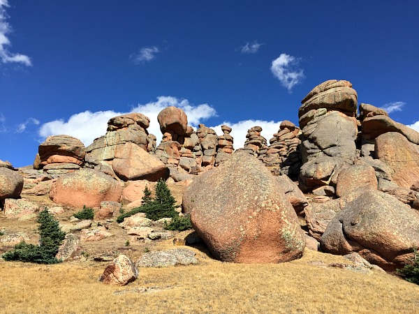
The rocks have faces, keeping watch on hikers
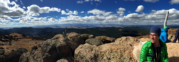
View from the top of Bison Peak, the highest peak in the Lost Creek Wilderness at 12,432′
Tarryall Creek signals the end of the trail and a two night backpacking trip.
Two weekends, two great trips, two very different landscapes, all within two hours of Denver.